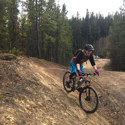
We live in the wilderness (in case you didn’t notice). Literally, we have 12 square kilometres per person of wild landscapes, untamed animals and often dodgy cell reception—and that can be all within city limits. The City of Whitehorse has over 700 kilometres of trails that connect neighbourhood to neighbourhood, so how do you navigate? Where do you go when mountain biking, and do it safely?
First Steps – Apps & Maps Must-have applications for your phone:
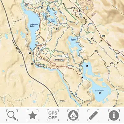
Whitehorse Trails
- All Whitehorse designated trails are mapped
- Lost? Use GPS to locate yourself (to find your trail) and find your way out or find out where the next trail will lead to
- Directional information and trail details
- CONS: Limited areas to designated trails, depending on where you want to ride
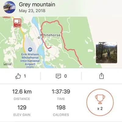
Strava
- Track yourself and your ride, particularly for a gradient map of vertical climbs
- Follow fellow riders to see new routes and ideas, and to share yours
- Find which trails you rode, after the fact, if the segment has been labelled
- Keep a record of trails, to avoid them or work on them again
- CONS: Doesn’t give you trail information, more of a tracking app
Trailforks
- Some of Whitehorse’s designated trails are mapped
- Lost? Use GPS to locate yourself on some trails
- Select a trail and see length, climb, descent
- See routes on actual trails designated, which can be great for progressing and challenging yourself
- Get trail reports: places good to go, places that are closed, etc.
- CONS: Doesn’t have all trail information
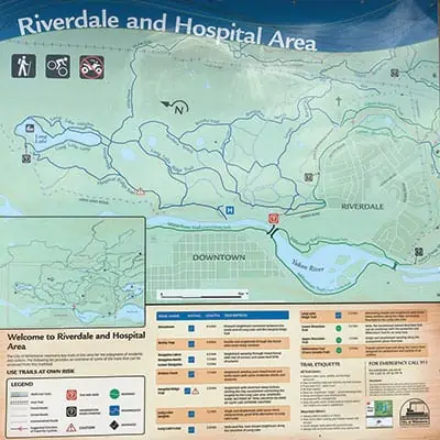
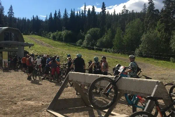
Maps are available at www.whitehorse.ca/trails and at some designated major areas such as Grey Mountain, Chadburn Lake, Mount McIntyre: a good resource for these are the meeting points for most of the Contagious Mountain Biking Club (CMBC) website, www.cmbcyukon.ca/meeting-spots. You can also get large maps/posters from Icycle Sports, of the designated trails. When you are on the main trail areas, such as Riverdale, there are signposts and maps of the route, at the main intersections and starting points, to help guide you. The main mountain-biking areas are Riverdale, extending out to Chadburn Lake, and Mount McIntyre to the Alaska Highway. But what happens if you don’t live near the main mountain-biking trails or want to get around other areas in Whitehorse?
Exploring
There are trails everywhere in Whitehorse, no matter where you live, so what’s the best strategy to explore them?
Using the Facebook CMBC Yukon page is a useful resource to gather more information on less-ridden areas or areas without designated trails or signage; for example, Porter Creek, Crestview, Yukon College. Most will be happy to give you trail maps from Strava or from other phone applications, but there is often a reason for the popularity of Riverdale and Mount McIntyre: the trails are well-maintained and rideable. Having attempted to ride around Porter Creek, you can see the big difference between the trails.
But exploring can be a part of the fun and challenge of mountain biking!
Dos & Don’ts on trails
When to ride
In early spring, the trails are drying up and clearing from snow. Don’t ride on trails that aren’t clear of snow or aren’t dry yet, as this can lead to “trail braiding.” What’s trail braiding and why is this bad? Trail braiding is when bikers avoid the snow/wet patches and go off to the side, thus ruining the trail that has been created. So don’t be a jerk, and keep an eye on trail updates on the CMBC Yukon Facebook page or on the Trailforks phone app.
Trail Maintenance
Trail braiding isn’t only a concern with early-season wet spots … it can happen any time someone goes off-trail; so, as they say “Ride over, not around.” If there is a large tree that needs to be removed, inform the City of Whitehorse; or, if it is small enough for someone with a handsaw to remove (and you don’t have one with you), post to the CMBC Facebook group. Many people carry small, foldable saws in their packs to help keep trails clear and to do their part in trail stewardship. Trailforks has a trail report/condition feature, which we may start to see more of in the future as it becomes more populated with trails For example, a trail can be reported as closed or there may be a caution for a downed tree or some other issue (contact the City of Whitehorse by phoning 668-8325 or emailing [email protected]).
Which way do I go?
The major biking areas have signs and also show the designated way of travel on the Whitehorse Trails phone app. Make sure to follow it! The person coming up always has the right-of-way. Some trails are only single tracks, which means there’s only enough room for one bike. Trails are also multi-use, so there can always be people hiking the trails.
Wildlife encounters
Spring means wildlife, particularly bears. And, like any adventure in the Yukon wilderness, you should always be prepared. Having a bear bell on your bike can be a good idea; it’s also useful for riding partners to hear where you are or to let other bikers know you’re coming. Bear spray should also be carried, either in the drink holder on your bike or on your backpack (not inside your pack).
For more local information about events and trail conditions, visit www.CMBCyukon.ca. And for more information on mountain-biking etiquette, visit www.imba.com/ride/imba-rules-of-the-trail.